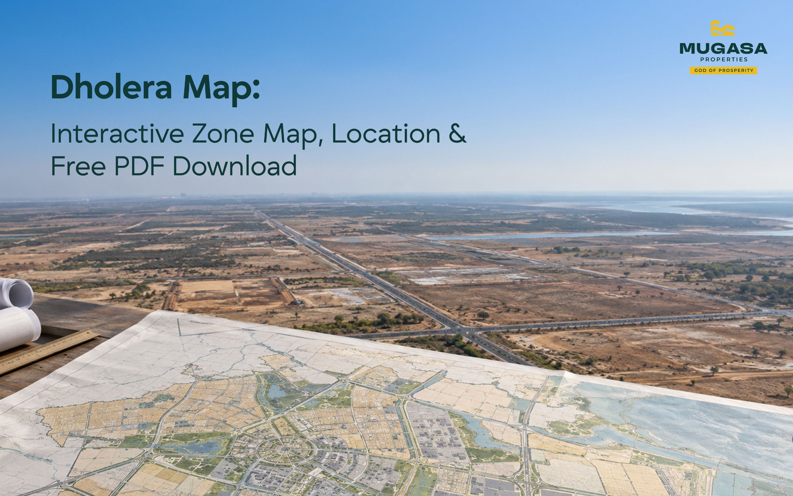


Most people searching for a Dholera map want three things. Where the city actually sits on a Gujarat map. How the 920 sq. km divides into zones. And whether a specific plot they are looking at falls inside the SIR boundary or outside it. This blog answers all three, with coordinates, zone-by-zone breakdown, the full village list, and a PDF download link at the end.
Dholera SIR falls within Ahmedabad district, Dholera taluka. Latitude 22.2452° N, Longitude 72.1925° E. About 100 km south of Ahmedabad by road, positioned along the Gulf of Khambhat on Gujarat’s western coast, as confirmed by Wikipedia’s Dholera taluka entry.
One search problem worth naming before going further. A village called Dholera exists in Mahendragarh, Haryana. Map searches pull it regularly. The Gujarat SIR is in Ahmedabad district, postal code 382455, at dholera.gujarat.gov.in. If your map is showing Haryana, it has the wrong pin.
For a full picture of how Dholera SIR is governed and who manages its development, that context sits separately.
|
Location |
Coordinates |
|
Dholera SIR Centre |
22°12’47″N, 72°13’06″E |
|
ABCD Building, Activation Area |
22°14’53″N, 72°11’42″E |
|
Dholera International Airport |
22°21’25″N, 72°18’12″E |
|
Postal Code |
382455 |
|
Official Website |
dholera.gujarat.gov.in |
Dholera SIR is not built on a single parcel. The 920 sq. km statutory boundary was carved from 22 specific villages across the Dhandhuka and Barwala talukas of Ahmedabad district. As Dholera Acres documents, these village boundaries define exactly which land falls under DSIRDA jurisdiction and which does not.
The 22 villages: Ambli, Bhirajpur, Bhadiyad, Bavliyari, Chandarva, Dholera, Gogla, Gorasu, Kamatalav, Kariyad, Kasindra, Khun, Mingalpur, Panchi, Pipli, Rahtalav, Sandhida, Sandheli, Sargasan, Sardharka, Surajbari, and Valinda.
For buyers, the village name on a plot’s revenue record is the starting point for title verification, connecting the original survey number to the reconstituted Final Plot within the TP scheme.
The SIR boundary and the Activation Area are not interchangeable terms and mixing them up costs investors real money.
The SIR boundary covers 920 sq. km. Inside it, every plot falls under DSIRDA jurisdiction, carries protections under the Gujarat SIR Act 2009, and benefits from committed infrastructure. Dholera Acres’ boundary analysis puts the premium for land just inside the boundary at over 400% versus land sitting just outside it. Same road, same geography, completely different legal standing.
The Activation Area covers 22.5 sq. km inside TP1. Every photograph circulating online that shows Dholera looking like a functioning city was taken here. Roads built, utilities live, ABCD Command Centre operational. The rest of the SIR is at various construction stages. Understanding how Dholera SIR is governed helps clarify how DSIRDA manages each zone separately.
For the zone-wise development status across the full SIR, that breakdown is covered in detail separately.
Dholera Hub’s 2026 zone map guide confirms the SIR divides its 422 sq. km of developable land across six functional zones. Industrial land for heavy manufacturing and electronics. Residential for worker housing and civic communities. Commercial and financial for corporate offices and trade centres. Knowledge and IT for R&D campuses and tech parks. Logistics and warehousing for freight terminals and supply chain yards. Recreation and green for public parks and eco buffers.
|
TP Scheme |
Primary Function |
Infrastructure Status |
|
TP 1 |
Activation Area, mixed use |
Complete |
|
TP 2 |
Expressway corridor, commercial |
Active development |
|
TP 3 |
Aviation and logistics |
Under development |
|
TP 4 |
Airport-adjacent logistics |
Under development |
|
TP 5 |
Heavy industrial |
Early stage |
|
TP 6 |
Heavy industrial, airport boundary |
Early stage |
TP1 and TP2 are the most active. TP3 and TP4 have partial construction permitted. TP5 and TP6 are in early-stage infrastructure development. For a full breakdown of what a TP scheme means for your plot, that detail sits separately and is worth reading before any purchase decision.
The master plan allocates specific land uses across each zone. Mixing these up is one of the more common and more expensive mistakes buyers make when reading the dholera smart city map.
TP 1: Activation Area and Mixed Use
The operational core of Dholera. Sub-schemes TP1A-1 through TP1A-3 and TP1B house the Knowledge and IT Zone where the ABCD Building sits, residential sectors, industrial clusters, green zones, solar zones, and the sports and recreation corridor. As Dholera Acres confirms, all subterranean utilities including ICT conduits, sewage lines, potable water pipes, and smart power grids are 100% complete within this scheme.
TP 2: Expressway Corridor and Commercial
Running along the Ahmedabad-Dholera Expressway. The High Access Corridor within TP 2 carries FSI allocations up to 5.0 for commercial development, the highest density permitted anywhere in the SIR according to DSIRDA zoning regulations detailed by Dholera Acres. Sub-schemes TP2A and TP2B variants cover the expressway-facing plots and mixed-use commercial zones.
TP 3 and TP 4: Aviation and Logistics
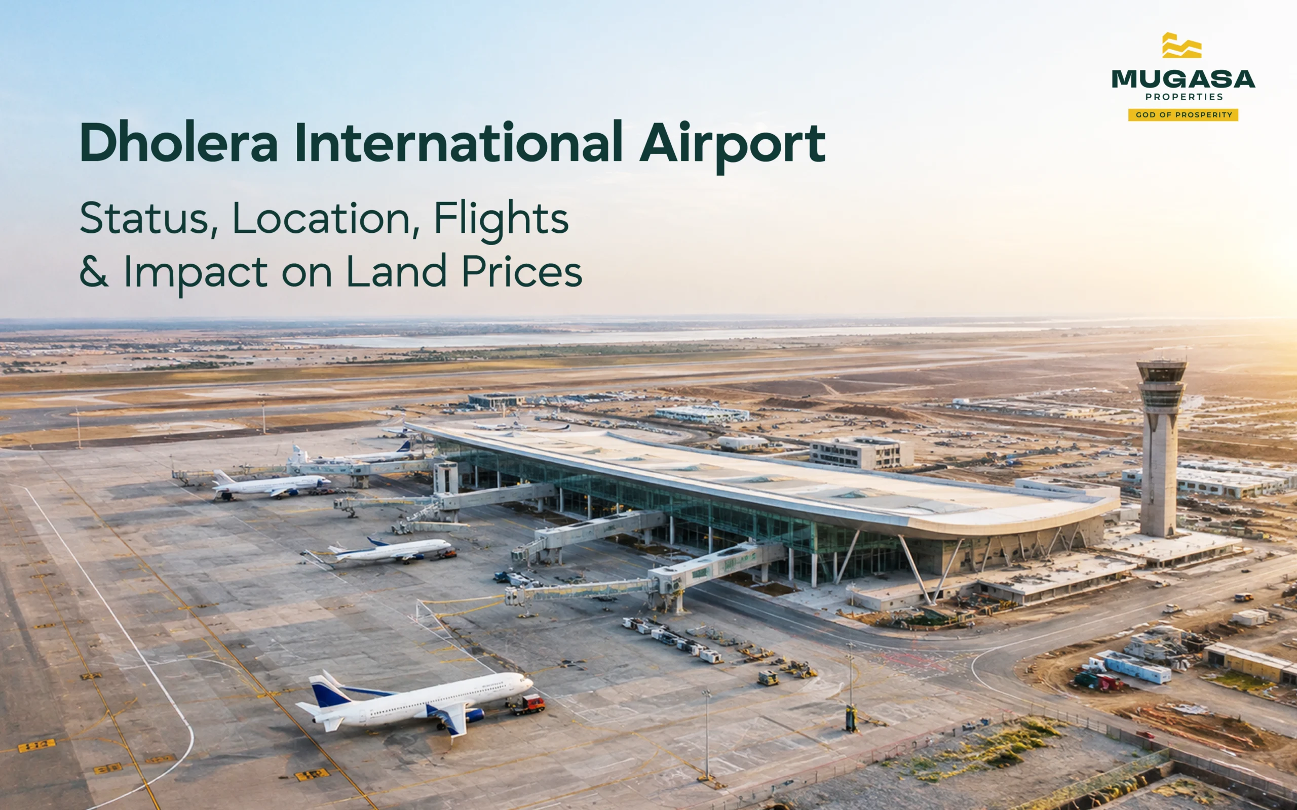
Surrounding the Dholera International Airport site near Navagam (22°21’25″N, 72°18’12″E). Pre-zoned for cargo sorting hubs, logistics parks, and aviation hospitality as documented by Dholera Acres’ development plan map guide. The airport runway is complete and cargo operations are targeting late 2026.
TP 5 and TP 6: Heavy Industrial
The outer industrial ring. The Tata Electronics semiconductor fab sits here, currently at 50% construction as of April 2026 according to AUM Realties’ construction progress report. Around 800 vendor and supply chain companies are projected to operate in and around the plant upon full operationalisation, as reported by Asian Community News. Sub-schemes include TP5A, TP5B, TP5C-1, TP6A, and TP6B.
The dholera tp map is where investment decisions get made or get wrong. As Nestoria Group’s TP scheme buyer guide explains, a TP scheme is the government’s legal mechanism for converting agricultural land into planned, infrastructure-ready urban plots. The government pools land, deducts roughly 40 to 50% for public infrastructure including roads, parks, and utilities, and returns the remainder to original owners as reconstituted Final Plots on serviced infrastructure.
The TP sub-scheme a plot sits within determines three things simultaneously: its legal reconstitution status, its infrastructure delivery timeline, and its FSI allocation.
TP 1 sub-schemes are the most legally advanced. Final Plot numbers are confirmed. Infrastructure is operational. Buyers can verify a TP1 plot against DSIRDA’s sanctioned scheme list and get a clean paper trail.
TP 2 sub-schemes carry strong commercial value tied to the expressway corridor. The HAC commercial plots here carry the highest FSI in the SIR.
TP 3 and TP 4 are pre-zoned for logistics and aviation hospitality, with infrastructure timelines tied to the airport’s operational status.
TP 5 and TP 6 are the long-horizon industrial zones where the semiconductor ecosystem is building out.
The dholera sir tp map PDF is available through the official DSIRDA portal. The next section covers exactly where to get it.
Two government portals carry the official planning documents.
dholera.gujarat.gov.in
The primary source for the dholera master plan pdf, TP scheme notifications, and legal boundary definitions. The dholera master plan pdf free download is accessible here without registration.
dicdl.gujarat.gov.in
Implementation-level documents including infrastructure progress maps and zone-level development status updates. The dholera sir map pdf sits here alongside the dholera smart city map pdf.
For investors who want a curated version covering TP zone boundaries, village list, plot-level coordinates, and current zone status in a single readable document, Mugasa Properties provides this as part of investor onboarding. Reach out through the contact page and the team sends it directly.
Dholera is the flagship node of the Delhi-Mumbai Industrial Corridor, a 1,483 km freight-rail-linked industrial spine connecting Delhi to Mumbai across six states. According to spatial planning documentation published by NICDC, Dholera is designed as a high-efficiency manufacturing gateway on India’s western industrial spine. That positioning connects the SIR to both major gateway ports and the national capital through a single logistics framework, something no standalone industrial city in Gujarat can replicate.
|
City |
Distance from Dholera |
Travel Mode |
|
Ahmedabad |
100 km |
45 min via expressway |
|
Bhavnagar |
53 km |
1 hour by road |
|
Vadodara |
136 km |
2 hours by road |
|
Surat |
275 km |
4 hours by road |
|
Mumbai |
535 km |
Fly to Ahmedabad, then drive |
|
Delhi |
950 km |
Fly to Ahmedabad, then drive |
The Ahmedabad-Dholera Expressway opened in March 2026, cutting travel time from Ahmedabad to under 45 minutes. For the full connectivity breakdown, the Ahmedabad-Dholera Expressway guide covers every option including train, bus, and air.
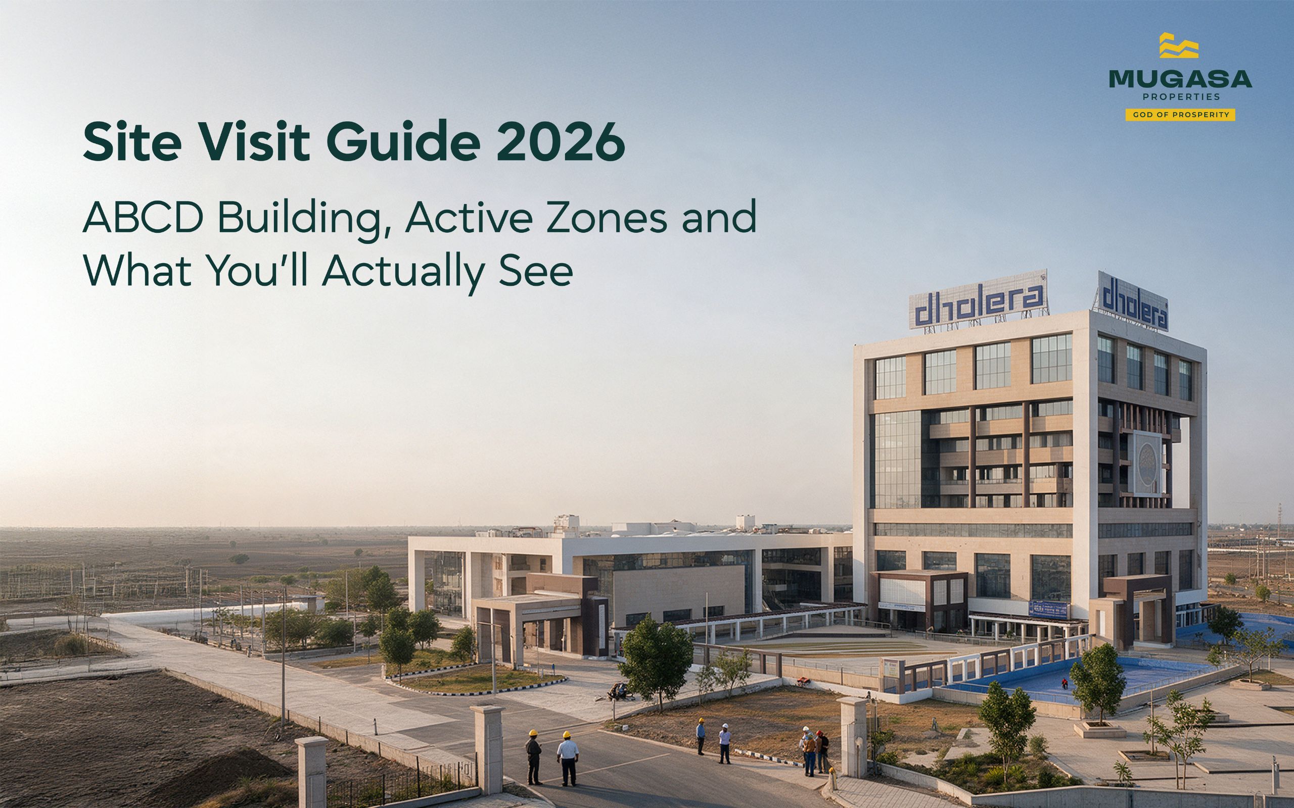
Search Google Maps for “Dholera SIR ABCD Building” or drop a pin at 22°14’53″N, 72°11’42″E. That building is the operational headquarters of DSIRDA and the most reliable navigation anchor inside the Activation Area. It connects directly to the 55-metre arterial road that feeds onto the expressway.
Two things worth knowing before you visit. Mobile signal drops significantly in TP5 and TP6, so download the offline map in Ahmedabad before leaving. Physical roads inside raw TP schemes use statutory sector codes rather than named roads, so carry a printed copy of the reconstituted TP map alongside your plot documents.
The full Ahmedabad-Dholera Expressway guide covers every route option in detail.
If you are ready to look at plots available by zone before or after a site visit, the Mugasa Properties inventory is verified and updated daily.
Where is Dholera located in Gujarat?
Ahmedabad district, about 100 km south of Ahmedabad city, along the Gulf of Khambhat coastline.
Which district and taluka is Dholera in?
Ahmedabad district. The taluka is Dholera, formed from portions of the older Dhandhuka and Dholka talukas.
How many villages are included in Dholera SIR?
22 villages across the Dhandhuka and Barwala talukas, covering a total statutory area of 920 sq. km.
Where can I download the official Dholera zone map?
dholera.gujarat.gov.in and dicdl.gujarat.gov.in both carry the official master plan and TP scheme documents at no cost.
Which Dholera zones are currently open for construction?
TP1 and TP2 are the most active. TP3 and TP4 have partial construction permitted. TP5 and TP6 are in early-stage infrastructure development.
The boundary map tells you whether a plot carries government infrastructure protections or none. The TP zone map tells you what the land is legally zoned for and when the infrastructure arrives. The village list is where title verification begins. And the coordinates tell you exactly what you are standing on when you go to see it.
Mugasa Properties has been verifying Dholera plots against all of these layers for 20 years. Every opportunity in our portfolio clears the SIR boundary check, the TP scheme status, and an on-ground visit before it reaches a client. If you want the PDF map, a zone breakdown, or a conversation about a specific plot, start here.
Book a free consultation with our team to discuss how Dholera fits your investment portfolio.
Book a ConsultationShare this article:
October 2026
October 2026
October 2026
Share your details and our team will call you with current availability and guidance.