

Most people who visit Dholera for the first time arrive expecting either more or less than what they find.
Those who expected a finished city are surprised by how much open land still surrounds the Activation Area. Those who expected nothing are surprised by the roads, the underground infrastructure, the ABCD Building standing fully operational on a 55-metre arterial road, and the sheer scale of what has been built in what was farmland fifteen years ago.
This guide tells you exactly what to expect, stop by stop, so your visit does the thing it is supposed to do: give you a clear, honest picture of where the project stands before you make any financial decision.
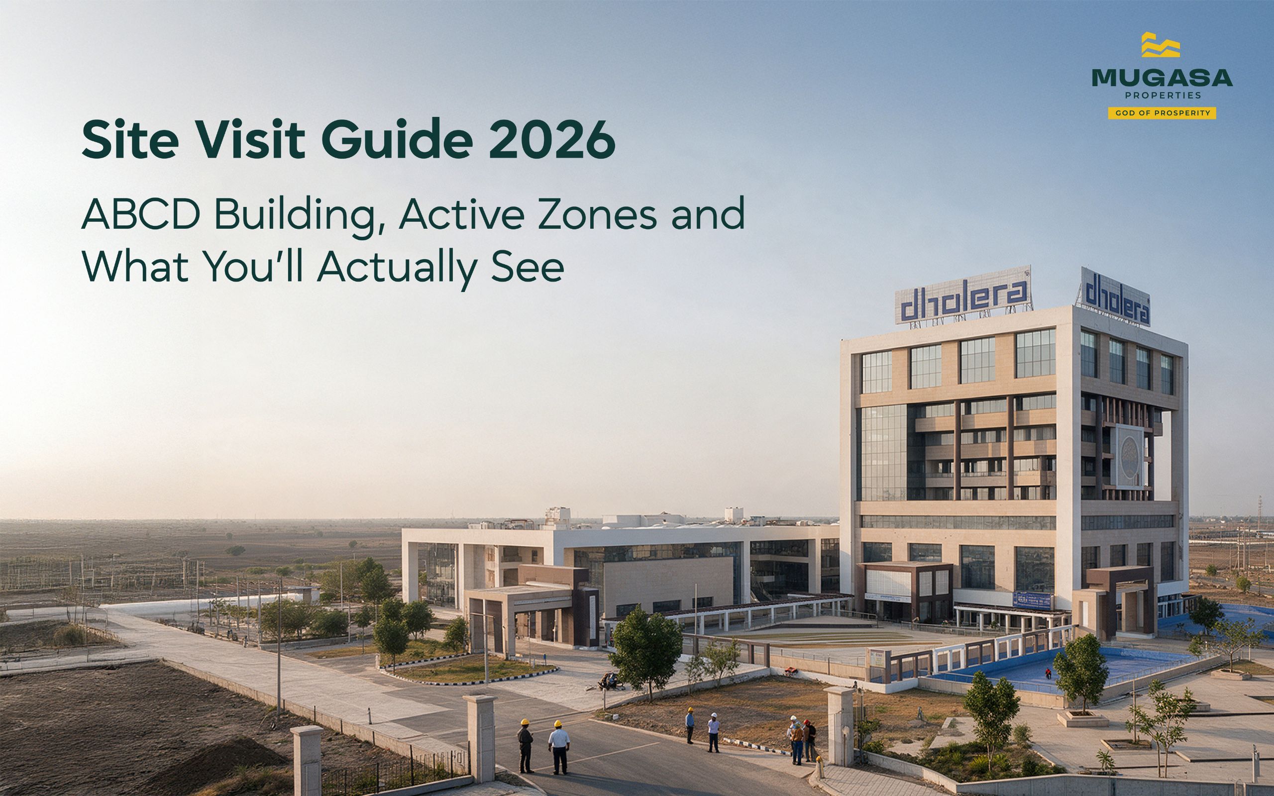
The Activation Area, covering roughly 22.5 sq. km within the broader 920 sq. km SIR, is where all visible development sits. Roads are built and operational. Underground utility corridors carrying power, water, fibre, and gas run beneath them. The ABCD Building is complete and functioning. The Tata semiconductor site has active construction equipment and workers on the ground. The expressway from Ahmedabad is open.
Beyond the Activation Area, the picture changes. Zone 4 has partial road work and utility corridor construction underway. Zone 6 is an earlier stage. Large portions of the SIR boundary are still open land, which is by design. The master plan reserves 65% of the total area as a green and agricultural buffer permanently.
Go know that. The Activation Area will impress you. The outer zones will look like what they are: a city in its early chapters.
For the full Dholera development status report, that context is laid out milestone by milestone.
ABCD. Four letters that most people nod at without knowing what they mean.
Administration and Business Centre for Dholera. That is the full form, and the name actually describes the building accurately, which is rare for government infrastructure. According to BookMyAssets, which covers DSIRDA documentation in detail, the building covers 36,000 sq. m. and sits in TP2 West inside the Knowledge and IT Zone of Phase 1.
Getting there from the expressway takes under 10 minutes. A 55-metre arterial road connects the building directly to the Dholera Expressway corridor, as documented by Realty Rise Group’s site audit. No secondary routing, no navigating internal lanes.
Walk inside and you find several things operating simultaneously. The Single-Window Clearance desk handles developer and industrial approvals without requiring visits to multiple government offices. DSIRDA and DICDL have their working offices here. There are investor facilitation desks and a skill development centre. The building holds LEED Gold certification, which for a government administrative facility in Gujarat is genuinely uncommon.
The part most investors want to see sits behind all of that: the Integrated Command and Control Centre, which is where the city’s monitoring systems actually run.
The Command and Control Centre uses ICT and SCADA to monitor the city in real time. The control room tracks traffic movement, street lighting, power supply, water distribution, waste collection, and emergency systems. Sensors placed across Dholera send live updates to operators who manage city services from one central location.
In case of an emergency or any malfunction, ICT and SCADA sensors installed across the city send alerts to the ABCD Building. All relevant departments are immediately notified and corrective actions are quickly taken.
Standing in front of those monitoring screens is usually the moment investors stop asking theoretical questions and start asking practical ones. The infrastructure being managed in real time tends to do more for conviction than any presentation.
Entry to the ABCD Building is permitted during investor sessions and with prior arrangement. According to information compiled by Dholera Hub, investor meetings and guidance sessions are held regularly inside the facility. Walk-in access to the Command Centre is not guaranteed, so coordinating through an advisor before your visit is the practical approach.
When you are inside, ask to see the live monitoring dashboard for the Activation Area. Ask which TP schemes have completed F-form finalisation. Ask for the current status of the airport construction timeline. The answers you get, and the ones you do not get, tell you a lot.
The Central Spine Road, running 250 metres wide through the Activation Area, is the most visible piece of infrastructure on any Dholera site visit. Smart street lighting runs the full length. Sensors embedded at road intervals report traffic and environment data to the ABCD Building in real time.
Beneath the road surface, as reported by SIR Dholera’s infrastructure guide, the Activation Area carries underground power ducts, ICT and fibre conduits, gas pipelines, potable water lines with smart metres, a recycled-water network, and stormwater drainage connecting to a 6.5 km man-made canal. These run in a single coordinated underground corridor.
What you will actually see from street level: wide, well-surfaced roads with no overhead wiring anywhere. That absence tells the whole story about how the infrastructure was planned.
Zone 2 Activation Area: Roads operational. Utilities live. Construction activity from Tata’s supply chain partners visible across the semiconductor corridor. The ABCD Building is your anchor point here. Plot boundaries in finalised TP schemes are demarcated and visible.
Zone 4: Road construction in progress, approximately 70% complete in the more advanced sub-schemes. Utility corridor earthworks visible. Open land with survey markers. This is what Zone 2 looked like in 2020 to 2021.
Zone 6: Earlier stage. Boundary markers and survey pegs in place. Road and utility work at initial stages. The land itself is flat, open, and very quiet. That quiet is either unsettling or interesting depending on your investment horizon.
Understanding what the zones and TP schemes mean before your visit makes the differences between what you see in each zone much easier to read.
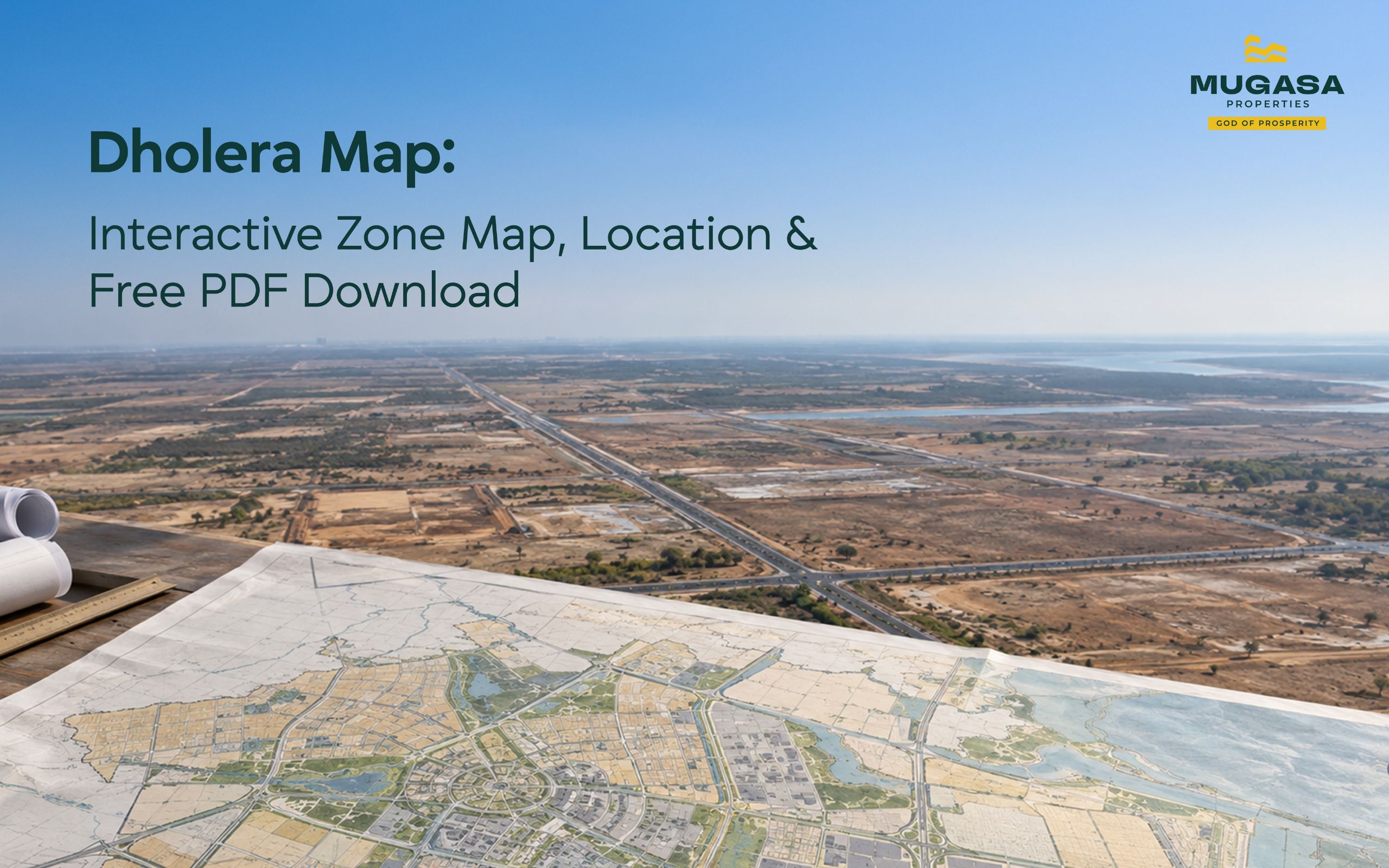
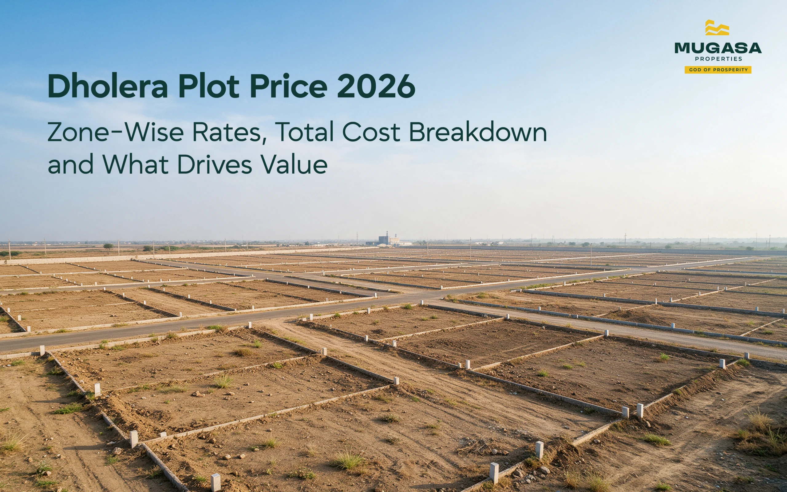
Survey pegs are concrete markers placed at plot corners during TP scheme demarcation. In finalized schemes they are permanent and visible. In earlier-stage schemes, temporary markers may be in place. Photograph any peg you locate along with its surrounding reference points. This becomes useful when cross-referencing with the Dholera zone map after your visit.
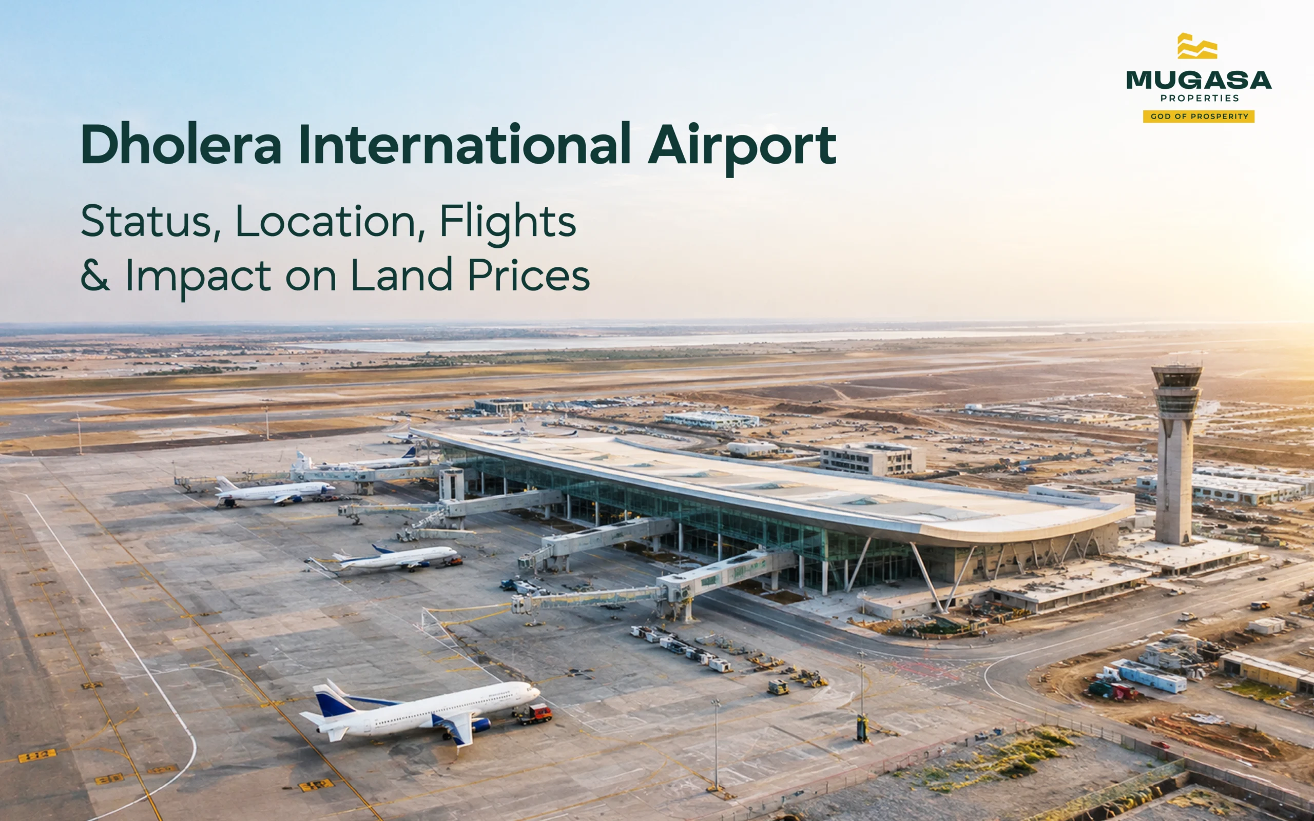
The airport site near Navagam sits approximately 20 to 25 km from the Activation Area, directly off the expressway corridor. The 3,200-metre runway is complete. Terminal structure is up. Construction equipment and workers are present on site.
You will not get onto the airport site itself. What you can see clearly from the expressway road alongside the site is the runway alignment, the terminal building outline, and the scale of the 1,426-hectare footprint. That scale, which covers an area larger than many Indian towns, tends to reset expectations about how serious the airport commitment actually is.
The Ahmedabad-Dholera Expressway is 109 km of access-controlled, signal-free road that opened in March 2026. Drive it both ways. The quality of the surface, the scale of the engineering, and the 250-metre Central Spine Road you join when you enter the SIR all communicate something that statistics about the project cannot.
The approach from the expressway into the Activation Area via the 55-metre arterial road to the ABCD Building takes roughly 5 minutes from the main interchange. That 5-minute corridor is where the transition from highway to city happens, and seeing it in person makes the urban scale of what is being built considerably clearer.
Drive from Ahmedabad via the expressway. Leave by 8 AM to be on site before 9 AM. A thorough visit covering all five stops takes 6 to 7 hours including travel. Same-day return to Ahmedabad is entirely practical.
From Surat, the distance runs approximately 275 km. Most investors from Surat drive to Ahmedabad the evening before and use the expressway the following morning.
October through March. Gujarat summers hit hard and Dholera’s open coastal landscape offers no natural shade beyond the buildings in the Activation Area. Morning visits are preferable because the light is better for photography and the heat builds through the afternoon.
Carry a printed or downloaded copy of the TP scheme map for any plot you are evaluating. Closed-toe shoes, because the construction zone ground is uneven. Minimum 2 litres of water per person beyond the Activation Area. Download the offline Dholera map before leaving because mobile signal is inconsistent in the outer zones.
Bring a printed TP scheme layout for the specific plot you are evaluating. On site, locate the nearest survey peg and count plots from it to yours using the scheme layout. GPS coordinates help here. Cross-reference the plot shape and dimensions from the F-form against what is physically marked on the ground.
If the physical markers match the F-form dimensions, you have a clean verification. If they do not match, or if no markers exist, escalate that discrepancy before proceeding with any transaction.
NRI buyers and investors based outside Gujarat regularly complete Dholera plot verification without a physical visit. The process involves receiving GPS-tagged photographs of the specific plot and surrounding survey pegs, a video walkthrough of the F-form against physical boundaries, a title verification conducted by a lawyer on the ground, and a video call with the advisor from the site.
This process works well for buyers who have already done their research and are down to final verification before transacting. It works less well as a substitute for the first visit, because the broader context of what Dholera looks like, how the zones relate to each other, and what infrastructure actually exists versus what is planned is harder to absorb from a screen.
Full guidance on remote verification for NRI buyers covers the document checklist and process in detail.
At Mugasa Properties, we organise guided Dholera site visits personally. Travel, accommodation, and meals handled by us. We walk every stop in this guide with you, answer every question on the ground, and follow up with a written summary of what you saw and what it means for any specific plot you are evaluating. If you are ready to see it for yourself, book a guided visit with us.
What is the full form of ABCD building in Dholera?
Administration and Business Centre for Dholera. It sits in TP2 West in the Knowledge and IT Zone and covers 36,000 sq. m.
What can you actually see on a Dholera site visit in 2026?
The Activation Area has fully built roads, live utilities, and the operational ABCD Building. The airport runway is complete and visible from the expressway. Outer zones have partial construction underway.
How long does a Dholera site visit from Ahmedabad?
Leave by 8 AM, on site before 9, cover all five stops, back in Ahmedabad by evening. Six to seven hours total including travel.
Can visitors go inside the ABCD building?
Entry during investor sessions and with prior arrangement, yes. Walk-in access to the Command Centre requires coordination in advance. Go through your advisor to set it up before the visit.
Can I verify a Dholera plot without visiting in person?
Yes, through GPS-tagged photography, video walkthrough, and on-ground legal verification. Works for final verification once research is complete. A first visit in person still gives context that remote verification cannot fully replicate.
A site visit to Dholera does one thing that no amount of research can replicate. It puts you in front of the scale.
Reading that the Central Spine Road is 250 metres wide is one thing. Standing on it and looking in both directions at an urban arterial with no end in sight is another. Reading that the airport runway is 3,200 metres is one thing. Driving alongside the Navagam site and seeing the scale of the 1,426-hectare footprint from the expressway corridor is another.
The investors who have clarity about Dholera tend to be the ones who went and looked. The ones still asking abstract questions about whether the project is real tend to be the ones who have only read about it.
The dholera site visit is not a formality before a decision. For most serious investors, it is where the decision actually gets made.
Book a free consultation with our team to discuss how Dholera fits your investment portfolio.
Book a ConsultationShare this article:
October 2026
October 2026
October 2026
Share your details and our team will call you with current availability and guidance.